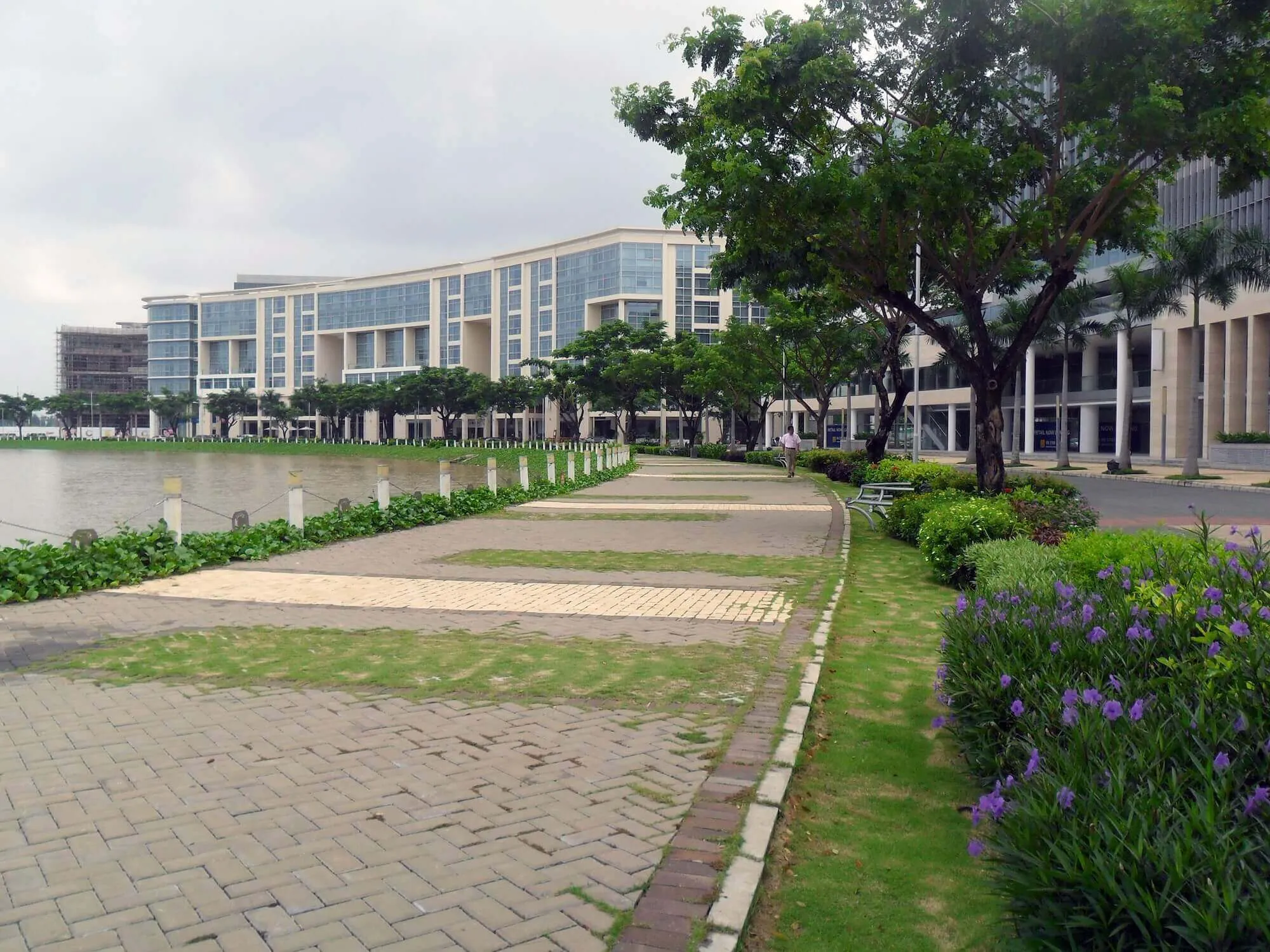
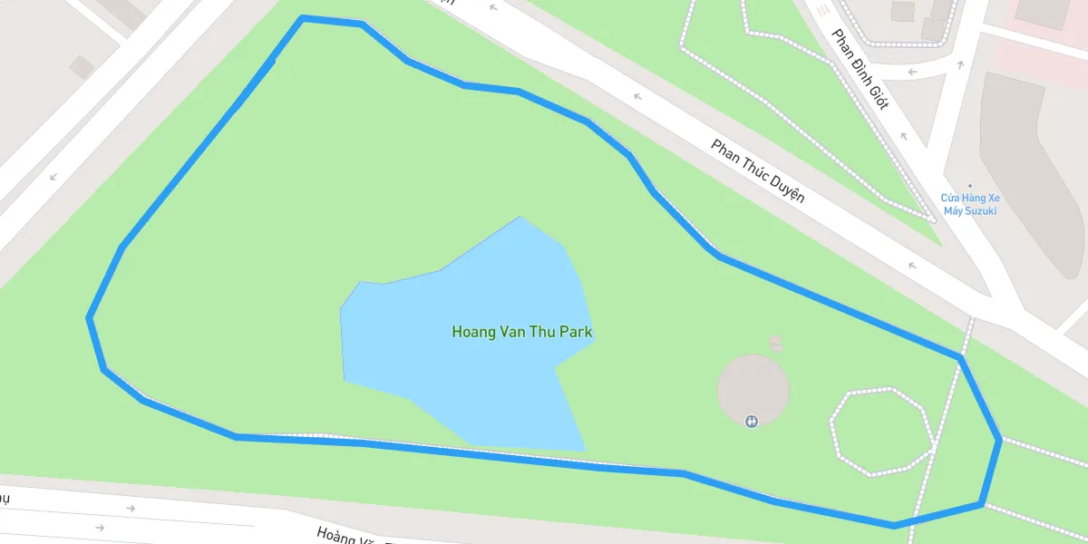
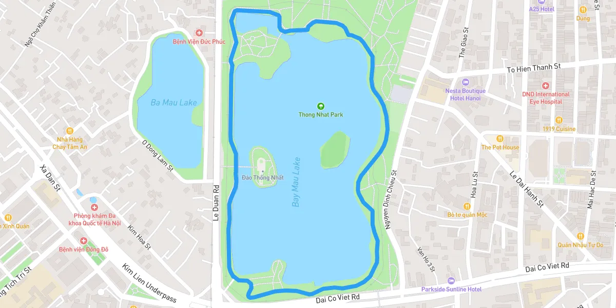
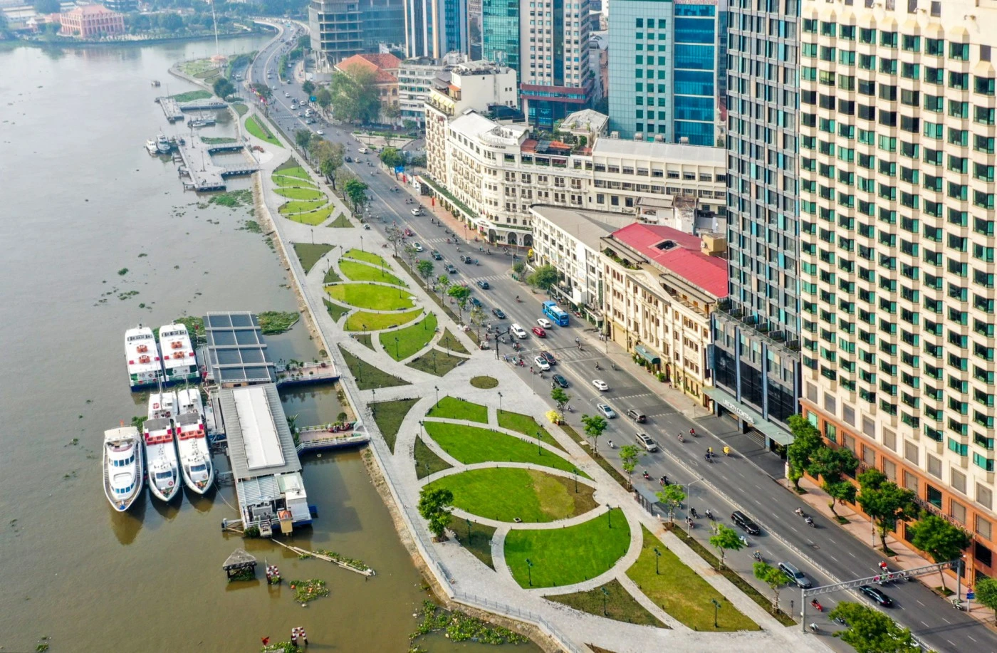
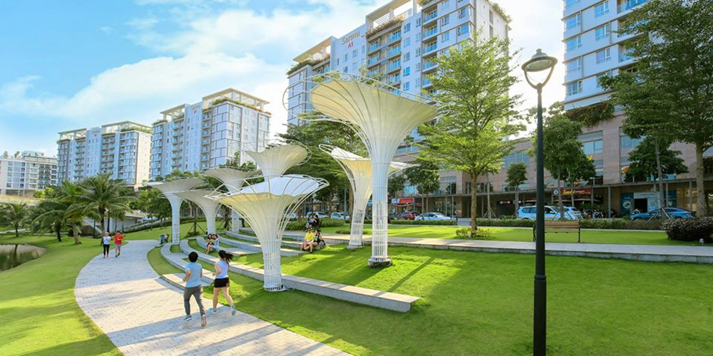
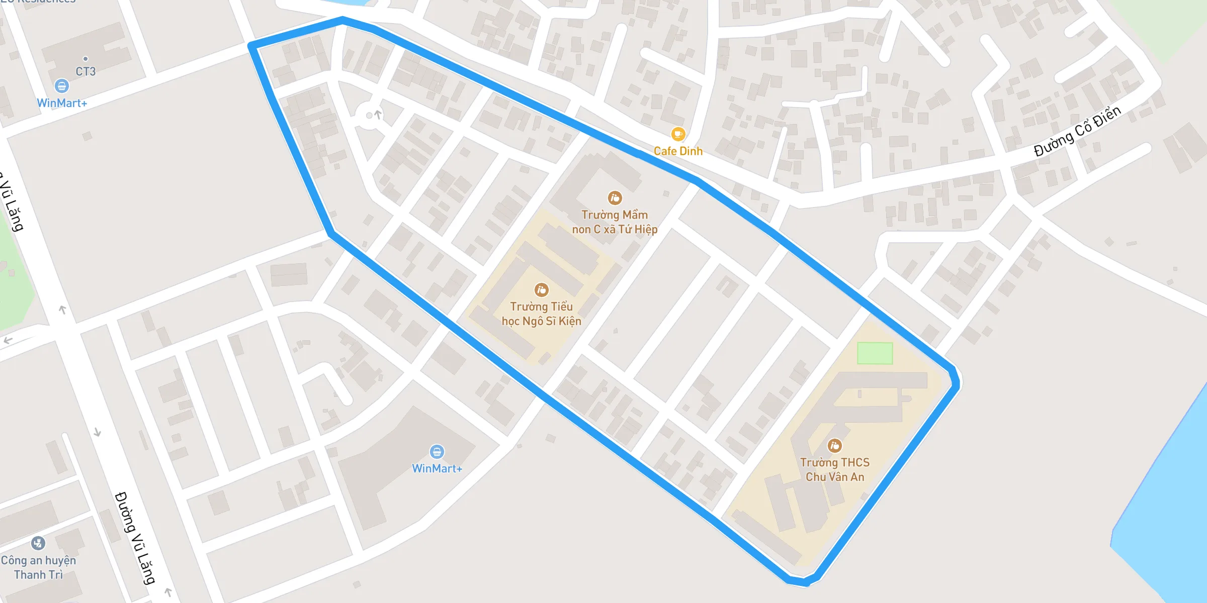
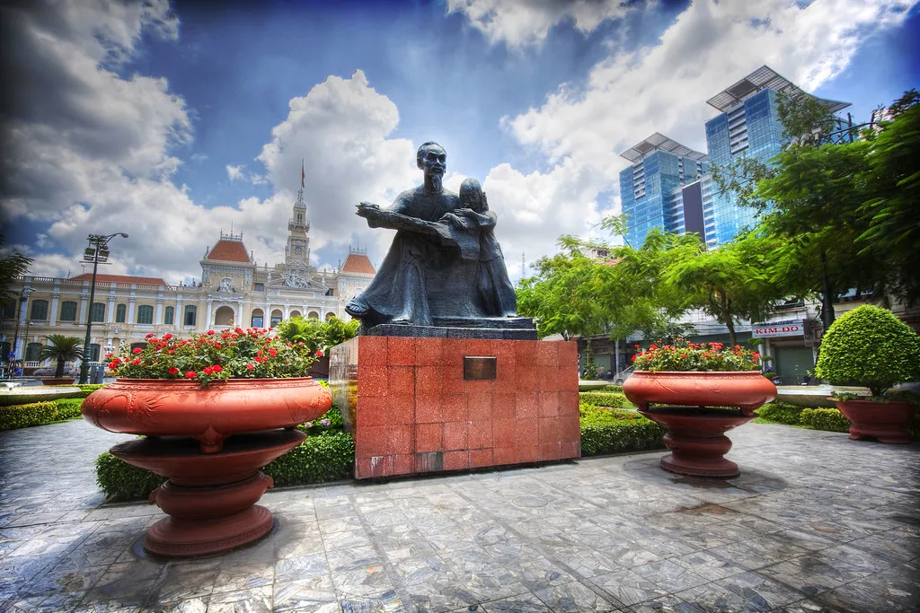
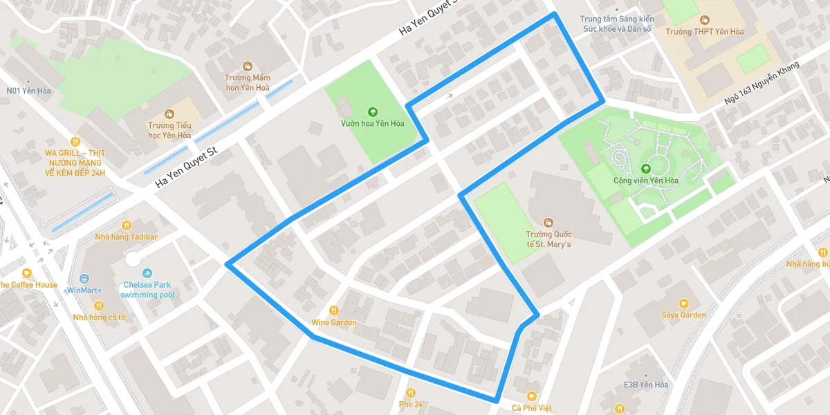
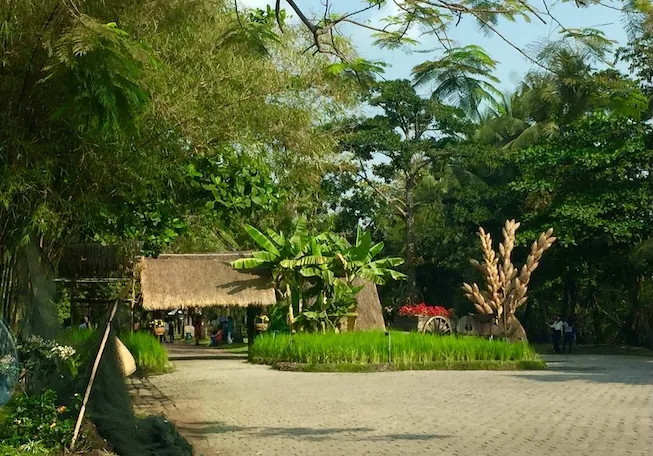
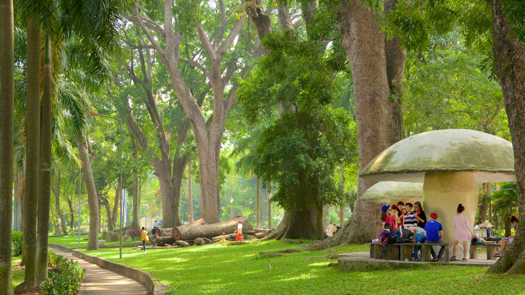
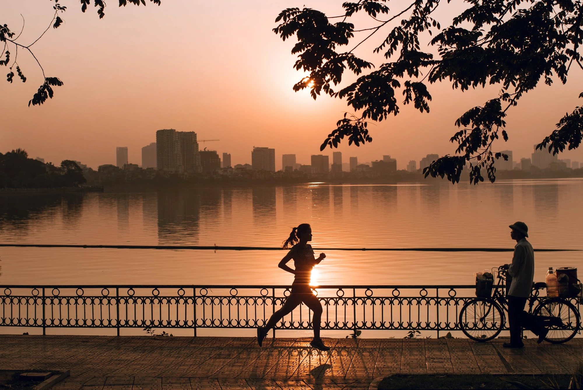
Where to run in Vietnam

Explore running routes in Vietnam with details on distance, elevation, and safety. Find the best routes for your next adventure.

Featured Provinces

View all provinces →

Popular Running Routes

Explore all routes →
Trung Yen Urban Area

Trung Yen Urban Area is a modern neighborhood in the Cau Giay District of Ha Noi, featuring well-kept roads, green spaces, and a laid-back vibe compared to the city center. Whether you’re seeking a short run or aiming to rack up some mileage, Trung Yen offers a convenient escape from busier districts. # 1. Why Choose Trung Yen? - **Wide, Paved Roads**: Perfect for consistent pacing or interval work. - **Green Pockets**: Small parks and open lawns break up the urban landscape. - **Local Amenities**: Cafés, convenience stores, and quiet side streets make this area runner-friendly. ## 2. Overview of the Running Route - **Distance**: 3–5 km using the main roads and park loops, extendable by exploring connecting streets. - **Difficulty**: Easy to moderate, with mostly flat terrain. - **Terrain**: Paved sidewalks, well-maintained roads, and small park trails. ## 3. Recommended Route & Highlights ### Starting Point Pick a central location such as Trung Yen Plaza or near a recognizable landmark (e.g., a small shopping complex). From here, sidewalks and crosswalks are usually well-defined. ### Main Roads Trung Yen’s main roads typically have two to three lanes, offering ample space for safe running on the sidewalks. Keep an eye on traffic during peak hours. ### Neighborhood Parks Numerous small parks dot the area. Running a few loops around these green spaces adds variety to your workout and gives you a chance to enjoy a more peaceful environment. ### Side Street Extensions For a bit more distance and a glimpse into local life, venture down the quieter residential alleys that often circle back to the main roads. ## 4. Facilities, Hydration, and Safety - **Restrooms**: Public restrooms can be scarce. Rely on nearby cafés or mini-marts if you need facilities. - **Hydration**: Small convenience stores and coffee shops are plentiful in Trung Yen—ideal if you need a quick drink. Bring your own water bottle for early or off-peak runs. - **Traffic Awareness**: While the roads are well-maintained, watch for motorbikes occasionally using sidewalks. ## 5. Timing Your Run - **Morning (5–7 AM)**: Enjoy cooler weather and fewer vehicles on the road. - **Evening (4–6 PM)**: Avoid midday heat; be mindful of increased traffic as locals commute home. - **Weather Considerations**: During Hanoi’s rainy season, sidewalks may become slippery. In hot weather, wear breathable clothing and stay hydrated. ## 6. Post-Run Activities - **Cool Down**: Use any of the small parks or plaza courtyards to stretch. - **Refreshments**: Grab a Vietnamese iced coffee (cà phê sữa đá) or a light snack at a local eatery. - **Explore**: If you have time, check out Cau Giay District’s other attractions such as nearby shopping malls or parks. ## Final Thoughts Trung Yen Urban Area provides a reliable, runner-friendly environment with a blend of smooth roads, pockets of greenery, and easy access to amenities. Whether you’re a casual jogger or more serious about your mileage, you’ll find Trung Yen a comfortable spot to lace up your shoes and hit the pavement without venturing too far from Hanoi’s central districts.

Distance
1.11 km
Elevation
0 m
Hanoi National Convention

The National Convention Center (NCC) in Hanoi, located in the fast-developing Tu Liem District, serves as a major landmark near which you can find wide boulevards, modern architecture, and potential for an appealing running route. Whether you’re a business traveler attending an event or a local resident seeking a fresh venue, the NCC area offers a unique blend of urban scenery and open space. # 1. Why Run Around the National Convention Center? - **Spacious Roads**: The roads around NCC, such as Pham Hung and Thang Long Boulevard, are generally wide with sidewalks, giving ample space for runners. - **Modern Landmarks**: The architectural designs of NCC, JW Marriott Hotel, and surrounding business complexes add a contemporary backdrop to your run. - **Proximity to Green Spaces**: Short detours can lead to small parks or ponds behind nearby hotels and complexes, offering a brief escape from city traffic. ## 2. Overview of the Running Route - **Distance**: 3–5 km loops are common, but you can extend by venturing toward My Dinh Stadium or other connecting roads. - **Difficulty**: Easy to moderate. Mostly flat surfaces with a few gradual inclines. - **Terrain**: Paved sidewalks, well-maintained roads, and occasional pedestrian bridges. ## 3. Recommended Route & Highlights 1. **Starting Point** - Begin your run near the main entrance of the National Convention Center. Wide sidewalks here set the stage for a comfortable start. 2. **Loop Around the NCC** - Circle the perimeter of the NCC grounds to get a feel for the area’s modern design. Keep an eye out for security checkpoints or event-related closures. 3. **Adjacent Roads & Landmarks** - For a 3–5 km loop, continue along Pham Hung Road or turn onto Thang Long Boulevard. The sidewalks are generally expansive, but do watch for motorbikes that may occasionally share the pedestrian paths. - Spot the JW Marriott Hotel to your left—some routes behind the hotel have small ponds and landscaped walkways, perfect for a scenic detour. 4. **Optional Extensions** - Head toward the My Dinh Stadium area for a longer run. This may add several kilometers and offer glimpses of sports facilities and additional wide boulevards. ## 4. Facilities, Hydration, and Restrooms - **Restrooms**: Public restrooms near the NCC complex may only be accessible during events. Otherwise, nearby hotels, cafés, or malls are your best bet. - **Hydration**: Convenience stores and small shops are scattered along Pham Hung Road. If you prefer to stay on the move, carry your own water. - **Safety & Traffic**: While roads are wide, traffic can be heavy during rush hours. Use pedestrian crossings or overpasses where available. ## 5. Best Times to Run - **Early Mornings (5–7 AM)**: Ideal to avoid traffic, enjoy cooler weather, and watch the sunrise over the modern cityscape. - **Late Afternoon (4–6 PM)**: Gives you a chance to see the area come alive with evening lights, but be mindful of peak traffic. - **Weather Considerations**: Hanoi can be hot and humid in summer. During rainy seasons, sidewalks may become slippery. ## 6. Post-Run Suggestions - **Cool Down**: Relax in the plaza around the NCC or find a bench near nearby ponds. - **Refreshments**: Drop by a local café or hotel lounge for a refreshing beverage or a quick snack. - **Exploration**: If time permits, explore further into My Dinh or Cau Giay District to experience more of Hanoi’s developing urban hubs. ## Final Thoughts The National Convention Center Running Route offers a window into Hanoi’s modern side—wide roads, sleek architecture, and easy-to-navigate sidewalks. While it may not be a traditional park or lakeside trail, it provides a convenient option for runners who appreciate a contemporary setting and ample running space. Whether you’re visiting for business or simply seeking a new route, lace up your shoes and enjoy the blend of city flair and open roads that the NCC area provides.

Distance
3.14 km
Elevation
0 m
Dieu Hoa Lake Park

Dieu Hoa Lake sits within the Giao Luu Urban Area in Ha Noi, blending modern landscaping with scenic water views. This spot offers a serene, mid-range route ideal for both beginner and experienced runners. # 1. Why Run Here? - **Scenic Lakeside Views**: Take in calming waterfront scenery as you circle the lake. - **Organized Urban Layout**: Paths and sidewalks in Giao Luu Urban Area are generally well-planned, making for a smooth run. - **Modern Facilities**: Nearby retail and café options provide convenient rest or refreshment stops. ## 2. Overview of the Dieu Hoa Lake Running Route - **Distance**: Approximately 2–4 km if you loop around the lake and surrounding walkways; easily extended by exploring additional roads in Giao Luu. - **Difficulty**: Easy to moderate, with mostly flat terrain. - **Terrain**: Paved pathways along the lake, well-maintained sidewalks in adjacent urban areas. ## 3. Recommended Route & Highlights 1. **Starting Point** - Begin near the main lakeside promenade. Look for signage or public seating around the lake. 2. **Lakeside Loop** - Follow the designated path encircling Dieu Hoa Lake. You’ll enjoy unobstructed lake views, landscaping, and occasional park benches for resting. - Keep an eye out for cycling lanes or pedestrian markings; they help separate foot traffic from bikes. 3. **Giao Luu Extensions** - Giao Luu Urban Area features residential blocks and green spaces connected by sidewalks. For a longer run, explore these streets, looping back to the lake for a refreshing finish. ## 4. Facilities, Hydration, and Safety - **Restrooms**: Public restrooms may be available near the lake, particularly in park or recreational areas. If closed, nearby cafés or shopping spots often allow use of their facilities. - **Hydration**: Local coffee shops and convenience stores carry bottled water or basic sports drinks. Consider bringing your own water if running during off-peak hours. - **Safety**: Overall, Giao Luu has relatively light traffic, but be mindful at crosswalks. Shared cycling paths mean you should stay alert for bikes. ## 5. Best Times to Run - **Morning (5–7 AM)**: Cooler temperatures and minimal crowding. Watch the sunrise over the lake. - **Late Afternoon (4–6 PM)**: Avoid the midday heat, though expect more foot and bike traffic. - **Weather Considerations**: In the rainy season, paths can become slippery. During hot months, carry enough water to stay hydrated. ## 6. Post-Run Activities - **Cool Down & Stretch**: Use the lakeside benches or small green spaces for a quick cool-down. - **Local Eats**: Giao Luu Urban Area has a variety of local and international dining spots. Treat yourself to Vietnamese iced coffee or light snacks. - **Further Exploration**: If you have time, explore the broader Cau Giay District for additional parks, vibrant street scenes, and local markets. ## Final Thoughts Dieu Hoa Lake in Giao Luu Urban Area delivers a balanced mix of urban convenience and natural appeal. Whether you’re a casual jogger or training for a longer event, this route’s tranquil lake views and walkable surroundings make it a standout choice in Ha Noi. Lace up, enjoy the waterfront breeze, and discover a relaxed pace away from city-center congestion.

Distance
1.7 km
Elevation
0 m
Mai Dich Cemetery Park

While running near a cemetery may sound unusual, the Mai Dich Cemetery area in Ha Noi offers a serene, tree-lined environment for those seeking a peaceful, reflective route. It is located in Cau Giay District and is known for its memorial grounds and relatively tranquil surroundings compared to busier parts of the city. # 1. Why Run Here? - **Calm Atmosphere**: The streets around Mai Dich Cemetery are typically less crowded, providing a quieter running experience. - **Shaded Paths**: Thanks to the cemetery’s tall trees and landscaping, parts of the route offer natural shade. - **Reflective Ambiance**: The memorial grounds often encourage a sense of calm, making it suitable for runners who appreciate a more contemplative setting. ## 2. Overview of the Mai Dich Cemetery Running Route - **Distance**: Approximately 3–5 km if you loop around the perimeter; can be extended by exploring nearby residential roads. - **Difficulty**: Easy to moderate (mostly flat, with some slight inclines around the cemetery grounds). - **Terrain**: Paved sidewalks and roads, occasionally narrower pathways. ## 3. Recommended Route & Highlights 1. **Starting Point** - Begin near the main entrance of Mai Dich Cemetery. The signage is clear, and local landmarks include small shops and local eateries close by. 2. **Perimeter Loop** - Run along the perimeter of the cemetery, which is lined with tall, mature trees. These provide shade, especially helpful during midday runs. - Pay attention to local traffic as some sections may have fewer sidewalks. 3. **Optional Extensions** - For extra distance, venture into the nearby residential neighborhoods. Some small lanes loop back to the main road. - Alternatively, you can integrate sections of surrounding roads, like Xuan Thuy Street or Pham Van Dong, for a more extensive run. ## 4. Facilities, Hydration, and Safety - **Restrooms**: Public facilities within the cemetery grounds may be restricted to visitors. You can stop at nearby cafés or small eateries if you need a restroom. - **Hydration**: Local convenience stores (tạp hóa) near the cemetery entrance offer bottled water and basic drinks. Bring a small water bottle if planning a longer run. - **Respectful Conduct**: Mai Dich Cemetery is a memorial site, so maintain a respectful demeanor. Keep music at a low volume or use headphones. - **Traffic & Lighting**: Certain stretches around the cemetery may have minimal street lighting after dark. Carry reflective gear or a headlamp if running early morning or evening. ## 5. When to Run - **Morning (5–7 AM)**: Enjoy cooler weather and minimal traffic. - **Late Afternoon (4–6 PM)**: Avoid midday heat, but be mindful of busier roads as people commute home. - **Cultural Considerations**: During national holidays or memorial events, the area can get crowded with visitors paying respects. ## 6. Post-Run Suggestions - **Stretch & Cool Down**: Utilize any small park or open space near the cemetery. Some side roads are quiet and suitable for a cool-down walk. - **Local Snacks & Coffee**: Explore the small shops and cafés around the perimeter. You can find typical Vietnamese refreshments like iced coffee, sugarcane juice, or bánh mì. - **Further Exploration**: If you have time, visit nearby universities or parks in the Cau Giay District for a glimpse of local student life. ## Final Thoughts The Mai Dich Cemetery Running Route offers a unique blend of tranquility and subtle urban charm in Ha Noi. While it may not be a traditional running hotspot, its tree-lined roads and reflective ambiance create an environment that many runners find both peaceful and invigorating. Respect the solemnity of the setting, stay mindful of local traffic, and you’ll discover an underrated route that stands out from the city’s more hectic streets.

Distance
0.7 km
Elevation
0 m
Hung King Temple

Hung King Temple in District 9 offers a scenic and culturally rich running route for those looking to combine fitness with history. This route takes runners through green landscapes, peaceful temple grounds, and well-maintained roads, making it a great choice for those who enjoy both nature and heritage sites. --- ## **1. Overview of the Hung King Temple Running Route** This route forms a **2 km loop** around the **Hung King Temple**, providing runners with a mix of urban roads and natural trails. The elevation changes slightly, offering a bit of a challenge for those looking to improve their endurance. - **Length:** Approximately 2 km per loop. - **Surface:** A mix of paved roads and compacted dirt trails. - **Environment:** A blend of temple surroundings, park-like landscapes, and quiet streets. ### **2. Running Route Details** **Starting Point:** Near the entrance of **Hung King Temple** in District 9. - **First Segment (0-0.7 km):** - Begin at the temple entrance, following the paved road heading north. - Pass the **Công viên Lịch sử - Văn hóa Dân tộc** (Historical & Cultural Park) on your left. - **Second Segment (0.7-1.4 km):** - Follow the route along the outer temple path, heading towards the **Nghĩa trang Giáo xứ Cao Thái** (Cao Thái Parish Cemetery). - The path is shaded, providing a comfortable running environment. - **Final Segment (1.4-2 km):** - Continue along the southern perimeter of the temple area, looping back to the starting point. - This final stretch is slightly inclined, adding a bit of intensity before finishing the loop. **Highlights:** - Historic and cultural significance of Hung King Temple. - Beautiful nature trails and well-maintained paths. - A great mix of elevation and flat segments for diverse training. ### **3. Facilities and Amenities** - **Restrooms:** Available inside Hung King Temple and nearby parks. - **Hydration:** Small vendors and drink stalls near the temple entrance. - **Seating Areas:** Benches and shaded areas for cooldown stretches. ### **4. Best Time to Run** - **Morning (5 AM - 7 AM):** Ideal for cooler temperatures and peaceful surroundings. - **Evening (5 PM - 7 PM):** A scenic sunset run with fewer crowds. ### **5. Safety Tips** - **Traffic Awareness:** Be cautious at road crossings near the temple entrance. - **Footing:** Some dirt paths may be uneven, so watch your step. - **Personal Safety:** The area is generally safe, but running in groups is advised during early morning or late evening hours. ### **6. Scenic Highlights** - **Hung King Temple:** A magnificent historic site to admire during the run. - **Botanical Garden:** Lush greenery and peaceful paths. - **Hill Trail:** A slight elevation challenge with rewarding city views. ### **7. Post-Run Recommendations** - **Cool Down:** Stretch near the temple gardens or sit by the reflection pond. - **Refreshments:** Try local drinks from small vendors near the entrance. - **Explore:** Take a post-run tour of Hung King Temple to learn about its rich history. ### **Final Thoughts** Running around **Hung King Temple** in District 9 provides an enriching experience that blends fitness, history, and nature. The **2 km loop** offers a structured, scenic route with manageable elevation changes. Whether you prefer a short scenic run or an extended session with multiple loops, this route is perfect for runners of all levels.

Distance
1.9 km
Elevation
7 m
Inner Ring Road

The Inner Ring Road in Ho Chi Minh City offers a short but efficient 1.8 km running route, ideal for runners looking for a quick, uninterrupted training session. With well-maintained surfaces and moderate traffic, this stretch provides a convenient and accessible run within the urban setting. --- ## **1. Overview of the Inner Ring Road Route** This route follows a designated section of **Đường Vành Đai Trong** in Bình Tân District, offering a balance of urban infrastructure and open running space. It is well-paved and suitable for tempo runs or steady-paced workouts. - **Length:** Approximately 1.8 km. - **Surface:** Paved roads with pedestrian-friendly sections. - **Environment:** Urban surroundings with occasional greenery. ### **2. Running Route Details** **Starting Point:** Near **Cà Phê Sam**, Đường Vành Đai Trong, Bình Tân District. - **First Segment (0-0.6 km):** - Begin at **Cà Phê Sam**, heading south along Đường Vành Đai Trong. - Pass by **Nhà hàng Chim Rừng**, a recognizable landmark on your left. - **Second Segment (0.6-1.2 km):** - Continue straight past **WinMart+**, a convenient hydration stop. - Enjoy a steady-paced run with minimal vehicle traffic along this shaded section. - **Final Segment (1.2-1.8 km):** - Approach the endpoint near **Nhà hàng Seol Garden**, a great spot to relax post-run. - Cool down at nearby shaded walkways and small parks. **Highlights:** - Well-lit sidewalks for morning and evening runs. - Minimal intersections, making it a smooth, uninterrupted route. - Proximity to well-known commercial and recreational landmarks. ### **3. Facilities and Amenities** - **Restrooms:** Available at nearby coffee shops and restaurants along the route. - **Hydration:** Convenience stores such as **WinMart+** for bottled water and sports drinks. - **Shaded Areas:** Tree-lined sections providing natural shade. ### **4. Best Time to Run** - **Morning (5 AM - 7 AM):** Cooler temperatures and fewer pedestrians. - **Evening (5 PM - 7 PM):** Relaxing atmosphere with city lights. ### **5. Safety Tips** - **Traffic Awareness:** Be cautious near store entrances and minor intersections. - **Footing:** Even pavement, but avoid slippery areas after rain. - **Personal Safety:** Generally safe, but best to run with a group during late hours. ### **6. Scenic Highlights** - **Cà Phê Sam:** A great place to start with a pre-run coffee. - **Nhà hàng Chim Rừng:** A well-known local restaurant for a post-run meal. - **Open Running Space:** One of the best pedestrian-friendly areas in Bình Tân District. ### **7. Post-Run Recommendations** - **Cool Down:** Walk back to **Nhà hàng Seol Garden** and relax. - **Refreshments:** Grab a smoothie or coffee at nearby cafés. - **Explore:** Check out local stores and street vendors for a post-run snack. ### **Final Thoughts** This 1.8 km stretch along **Đường Vành Đai Trong** is perfect for runners looking for a quick, well-maintained route in Ho Chi Minh City. Whether you are training for speed or just getting in a light workout, this area provides a safe and scenic running experience with accessible amenities along the way.

Distance
1.8 km
Elevation
0 m
Phu Lam Park

Phu Lam Park is a hidden gem in Ho Chi Minh City, offering a green oasis for runners who prefer a peaceful, shaded environment. Located in District 6, this park is a great place for both beginners and experienced runners looking for a safe and refreshing route away from the city’s hustle and bustle. --- ## **1. Overview of Phu Lam Park** Phu Lam Park is known for its lush greenery, wide running paths, and relaxed atmosphere. It is a favorite spot among local fitness enthusiasts and families who come here for walking, jogging, and light workouts. - **Length:** Approximately 1.5 km per loop. - **Surface:** Well-maintained paved paths, ideal for running. - **Environment:** Shaded with tall trees, providing natural cooling. ### **2. Running Route Details** **Starting Point:** Begin at the main entrance near the playground area. - **Route 1 (Short Loop - 1.5 km):** A single lap around the park, passing by fitness zones and shaded benches. - **Route 2 (Extended Run - 3-5 km):** Run multiple loops or combine with nearby streets for additional distance. **Highlights:** - Shaded paths that protect against the sun. - Clean and safe environment. - Well-spaced benches and exercise stations along the way. ### **3. Facilities and Amenities** - **Restrooms:** Available near the main entrance and inside the park. - **Hydration:** Street vendors and nearby convenience stores sell bottled water and sports drinks. - **Seating Areas:** Plenty of benches and resting spots for cooldown stretches. ### **4. Best Time to Run** - **Morning (5 AM - 7 AM):** The best time for a cool and quiet run before the park gets crowded. - **Evening (5 PM - 7 PM):** A relaxing time to enjoy the park’s fresh air, though it may be busier with families and walkers. ### **5. Safety Tips** - **Traffic:** The park is enclosed, so vehicle traffic is not a concern. - **Footing:** Paths are smooth and well-maintained but can get slippery after rain. - **Personal Safety:** The park is generally safe, but it’s best to avoid late-night runs. ### **6. Scenic Highlights** - **Large Trees and Greenery:** A refreshing natural setting for an energizing run. - **Small Lakes and Water Features:** Adding a calming vibe to your running experience. - **Community Spaces:** Enjoy the lively atmosphere of locals engaging in morning exercises and group activities. ### **7. Post-Run Recommendations** - **Cool Down:** Light stretches in shaded areas or by the park’s benches. - **Refreshments:** Try fresh coconut water or sugarcane juice from local vendors. - **Explore:** Walk around the park and enjoy its relaxing ambiance post-run. ### **Final Thoughts** Phu Lam Park is a fantastic spot for runners seeking a peaceful, nature-filled route in Ho Chi Minh City. Whether you're looking for a short jog or an extended run, the park’s well-maintained paths and green surroundings make it an excellent choice for a refreshing workout.

Distance
1 km
Elevation
16 m
Starlake Urban Area

Starlake, located in the Tay Ho District of Ha Noi, is a modern urban development area known for its wide boulevards, clean sidewalks, and scenic spots. It offers a refreshing change of pace from the city center, making it an appealing destination for runners looking for spacious, well-maintained paths. # 1. Why Starlake? - **Modern Setting**: A newly developed area with smooth roads, planned walkways, and green spaces. - **Less Congested**: Relatively lighter traffic compared to downtown Ha Noi. - **Scenic Lake Views**: Certain sections of Starlake offer views of water features and landscaped gardens. ## 2. Overview of the Starlake Running Route - **Distance**: Typically 3–6 km loops, easily extended if you explore connecting roads. - **Difficulty**: Easy to moderate, mostly flat with occasional gentle inclines. - **Terrain**: Paved sidewalks and well-marked bike lanes. This route caters to runners of all levels, whether you’re training for an event or just looking for a relaxing jog. ## 3. Recommended Route & Highlights 1. **Starting Point** - Begin near the main entrance of Starlake (look for the large signage and residential complexes). This area is easy to spot and often well-lit. 2. **Main Loop** - Follow the main boulevards lined with trees and greenery. Sidewalks here are generally well-maintained, making it ideal for a comfortable run. - Take note of any designated pedestrian or cycling paths; these provide extra safety from traffic. 3. **Scenic Areas** - Head towards any of the lake or garden sections within the Starlake development. Here, you’ll find calmer surroundings and an occasional breeze off the water. 4. **Extension Options** - If you’d like a longer route, continue onto connecting roads leading to nearby residential blocks. Some of these areas feature additional walkways and pocket parks. ## 4. Facilities, Hydration, and Restrooms - **Restrooms**: Limited public restrooms, but many cafés and shops in the area allow customer access. Plan accordingly. - **Hydration**: Look for small convenience stores or coffee shops around Starlake’s central hub. These usually stock bottled water or basic sports drinks. - **Safety**: Stick to well-lit paths in the evening, and be aware of cyclists or motorbikes, though traffic is comparatively light. ## 5. Timing and Seasonal Considerations - **Morning Runs (5–7 AM)**: Enjoy cooler temperatures and watch the sunrise over the district’s modern skyline. - **Late Afternoon (4–6 PM)**: Ideal for avoiding midday heat; be mindful of day’s end traffic. - **Hot Season**: Wear lightweight clothing and stay hydrated. - **Rainy Periods**: Surfaces may get slippery. Use caution around puddles. ## 6. Post-Run Suggestions - **Cool Down**: Utilize Starlake’s open lawns or small park areas for gentle stretching. - **Refreshments**: Stop by a local café for an iced coffee or juice. Several eateries offer both local and international cuisine. - **Further Exploration**: If time permits, explore nearby Tay Ho District attractions like West Lake or local markets. ## Final Thoughts The Starlake Running Route stands out for its blend of modern infrastructure, scenic design, and relative tranquility compared to bustling downtown Ha Noi. Runners looking for smooth paths, spacious sidewalks, and a comfortable environment will find Starlake an excellent choice. Lace up, enjoy the greenery, and take advantage of this up-and-coming neighborhood’s easy-paced vibe as you rack up the kilometers in the capital city.

Distance
1.7 km
Elevation
0 m
Thu Duc City Book Street

Thu Duc City Book Street offers a unique blend of culture and calmness, making it an ideal running route for those who enjoy combining physical activity with a serene, inspiring environment. Here’s a detailed guide to help you make the most out of your run along this charming stretch. --- ## **1. Overview of Thu Duc City Book Street** Located in the heart of Thu Duc City, this street is lined with quaint bookstores, art spaces, and cozy cafes. The pedestrian-friendly layout, minimal vehicle traffic, and shaded pathways create a perfect setting for a relaxed yet invigorating run. - **Length:** Approximately 1 km, ideal for laps. - **Surface:** Smooth pavement, well-maintained, suitable for all types of running shoes. - **Environment:** Quiet in the early mornings with a vibrant, cultural vibe during the day. ### **2. Running Route Details** **Starting Point:** Entrance near the main bookshop landmark. - **Lap 1:** Start at the entrance, enjoying the sight of colorful book displays. The path is shaded by trees, keeping the temperature pleasant. - **Midpoint:** You’ll pass small cafes perfect for a post-run coffee or hydration break. Benches are available if you need to rest. - **Loop Back:** Continue to the end of the street, make a U-turn, and head back for another lap. **Optional Extension:** Combine with nearby parks or riverside paths for a longer distance. ### **3. Facilities and Amenities** - **Restrooms:** Available in nearby cafes and bookstores. - **Hydration:** Convenience stores and coffee shops along the route offer bottled water and sports drinks. - **Shade and Seating:** Ample shaded areas and benches for quick breaks. ### **4. Best Time to Run** - **Morning (5 AM - 7 AM):** Ideal for cool weather, fewer people, and fresh air. - **Evening (5 PM - 7 PM):** Enjoy the sunset glow, though expect a livelier atmosphere with more foot traffic. ### **5. Safety Tips** - **Traffic:** Minimal vehicle traffic, but stay aware of occasional service bikes. - **Footing:** Even surfaces with occasional wet spots after rain; watch your step. - **Personal Safety:** Carry minimal valuables, and consider running with a buddy during less busy hours. ### **6. Cultural Highlights to Enjoy** - **Book Displays:** Glance at interesting book titles as you run. - **Street Art:** Inspiring murals and creative installations along the path. - **Local Vibes:** Friendly locals and students often frequent the area, adding a vibrant energy. ### **7. Post-Run Recommendations** - **Cool Down:** Light stretches on the benches under the trees. - **Refreshments:** Grab a fresh juice or iced coffee from a nearby cafe. - **Explore:** Spend time browsing through bookstores for a perfect post-run relaxation. ### **Final Thoughts** Running at Thu Duc City Book Street is not just about exercise; it’s a delightful experience that feeds both your body and mind. Enjoy the peaceful ambiance, stay hydrated, and soak in the cultural charm of this unique spot.

Distance
0.64 km
Elevation
0 m
Saigon Pearl Urban Area

Saigon Pearl Urban Area offers a premium running environment in Ho Chi Minh City, combining scenic riverside views with well-planned, wide pathways. This area is popular among local runners for its clean, safe, and modern surroundings, making it an excellent choice for both casual jogs and serious training sessions. --- ## **1. Overview of Saigon Pearl Urban Area** Located along the Saigon River in Binh Thanh District, Saigon Pearl is known for its upscale residential buildings, lush green spaces, and tranquil riverside promenades. The area provides an ideal setting for runners seeking a peaceful, traffic-free environment. - **Length:** Approximately 3-5 km depending on the chosen route. - **Surface:** Smooth asphalt and paved walkways, suitable for all running styles. - **Environment:** Quiet, clean, and shaded areas with stunning river views. ### **2. Running Route Details** **Starting Point:** Begin at the main entrance near the Saigon Pearl Gate. - **Route 1 (3 km Loop):** Start from the entrance, head towards the riverside promenade, following the pathway along the Saigon River. Loop back through the central park area and return to the starting point. - **Route 2 (5 km Extended Route):** Combine the riverside path with additional loops around the residential complexes and tree-lined streets for extra distance. **Highlights:** - Riverside promenade with fresh breezes. - Modern architectural scenery. - Green parks offering a refreshing break from the urban hustle. ### **3. Facilities and Amenities** - **Restrooms:** Available in nearby cafes, convenience stores, and residential complexes. - **Hydration:** Convenience stores like FamilyMart and Circle K within walking distance for water and sports drinks. - **Seating Areas:** Benches along the riverside for short breaks or cool-down stretches. ### **4. Best Time to Run** - **Morning (5 AM - 7 AM):** Enjoy cooler temperatures, quiet surroundings, and fresh air. - **Evening (5 PM - 7 PM):** Perfect for sunset runs with beautiful riverside views, though slightly busier with local residents out for walks. ### **5. Safety Tips** - **Traffic:** Minimal, but stay cautious around parking areas and service roads. - **Footing:** Well-maintained surfaces, but be careful after rain as some areas might be slippery. - **Personal Safety:** Well-lit at night, but it’s advisable to run with a buddy if running late. ### **6. Scenic Highlights** - **Saigon River Views:** Relaxing sights of boats passing by and the calming flow of water. - **Modern Architecture:** Admire the sleek designs of luxury apartments and commercial buildings. - **Green Spaces:** Small parks and tree-lined paths enhance the refreshing vibe. ### **7. Post-Run Recommendations** - **Cool Down:** Stretch in shaded park areas or by the riverbank. - **Refreshments:** Visit nearby cafes for a post-run coffee or smoothie. - **Relax:** Enjoy the tranquil riverside, a perfect spot to unwind after your run. ### **Final Thoughts** Running in Saigon Pearl Urban Area offers a perfect blend of urban sophistication and natural beauty. Whether you’re training for a race or enjoying a leisurely jog, the serene environment and modern amenities make it a top running destination in Ho Chi Minh City.

Distance
1.2 km
Elevation
0 m
Saigon High Tech Park

Located in District 9 of Ho Chi Minh City, offers runners a modern, spacious environment perfect for both casual jogs and serious training sessions. With wide roads, minimal traffic, and a clean, green landscape, it’s an ideal spot for runners looking for a fresh experience away from the city's bustling core. ## **Why Run at Saigon Hi-Tech Park?** - **Spacious, Clean Roads:** The park features wide, well-maintained roads with minimal congestion, offering plenty of space for uninterrupted runs. - **Modern Urban Vibe:** Surrounded by futuristic buildings and tech campuses, the park provides a unique, energetic backdrop for your run. - **Low Pollution:** Located away from the city center, SHTP boasts cleaner air, making it a healthier option for outdoor activities. ### **Route Highlights** 1. **Start Point:** Begin near the main entrance on Le Van Viet Street for easy access. 2. **Main Stretch:** Run along the expansive boulevards with clear lanes and dedicated pedestrian paths. 3. **Green Spaces:** Enjoy scenic views of landscaped gardens, modern architecture, and green tech zones. ### **When to Run** - **Early Mornings (5-7 AM):** Cooler temperatures and a peaceful atmosphere make this the best time for a run. - **Evenings (5-7 PM):** Experience the park's dynamic vibe as workers finish their day, with the area coming alive with local joggers. ### **Facilities for Runners** - **Hydration Points:** While convenience stores are less frequent, there are vending machines and small cafes within the park where you can grab water or sports drinks. - **Restroom Access:** Most tech buildings and cafes have restrooms available, especially if you make a small purchase. - **Safety Tips:** Stick to designated running paths, wear reflective gear in low-light conditions, and stay aware of light vehicular traffic. ### **Pro Tips for an Optimal Running Experience** - **Hydration:** Bring your own water bottle, especially for longer runs, as hydration points can be sparse. - **Footwear:** Choose lightweight running shoes for the smooth, flat surfaces. - **Sun Protection:** The park has limited shaded areas, so consider wearing a hat and sunscreen during midday runs. ### **Final Thoughts** Saigon Hi-Tech Park offers a refreshing alternative to traditional city routes, blending modern architecture with ample green spaces. Its clean environment, spacious roads, and unique atmosphere make it a standout choice for runners in Ho Chi Minh City.

Distance
6.8 km
Elevation
0 m
Tan Thuan Peninsula

Nestled along the banks of the Saigon River, is one of Ho Chi Minh City's most scenic and runner-friendly routes. Whether you’re a local athlete or a visiting runner, this area offers a unique blend of urban charm and riverside tranquility. ## **Why Choose Tan Thuan Peninsula for Running?** - **Scenic Riverside Views:** The route hugs the Saigon River, offering picturesque water views and a refreshing breeze that makes even the longest runs enjoyable. - **Low Traffic, High Safety:** Unlike the bustling city streets, Tan Thuan Peninsula provides wide pavements with minimal vehicular interference, ensuring a safer, more relaxed run. - **Flexible Loop Length:** The loop stretches approximately 4-6 km, depending on the path you choose, making it ideal for both short jogs and long-distance training. ### **Route Highlights** 1. **Start Point:** Begin near the Tan Thuan Bridge for easy access. 2. **Riverside Stretch:** Run along the riverbanks, enjoying shaded areas and cool breezes. 3. **Loop Completion:** Circle back through quiet urban streets with views of modern residential developments. ### **When to Run** - **Early Mornings (5-7 AM):** Enjoy cooler temperatures and fewer pedestrians. - **Late Afternoons (5-7 PM):** Experience the golden hour with stunning sunset reflections on the river. ### **Facilities for Runners** - **Hydration Points:** Convenience stores like Circle K and FamilyMart are scattered nearby, offering bottled water and sports drinks such as Pocari Sweat. - **Restroom Access:** Most convenience stores and local cafes allow restroom use with a small purchase. - **Safety Tips:** Wear reflective gear during low-light conditions, stay on designated paths, and be mindful of occasional motorbike traffic. ### **Pro Tips for an Optimal Running Experience** - **Hydration:** Always carry water, especially during hot, humid days. - **Footwear:** Use cushioned running shoes as parts of the route are paved with concrete. - **Awareness:** Stay alert for street dogs, although they are usually non-aggressive. ### **Final Thoughts** Tan Thuan Peninsula offers a perfect mix of nature and cityscapes, making it a must-visit for runners in Ho Chi Minh City. Whether you're training for a marathon or just looking for a peaceful jog, this route provides an unparalleled running experience.

Distance
6.6 km
Elevation
8 m